About
Catchment Overview
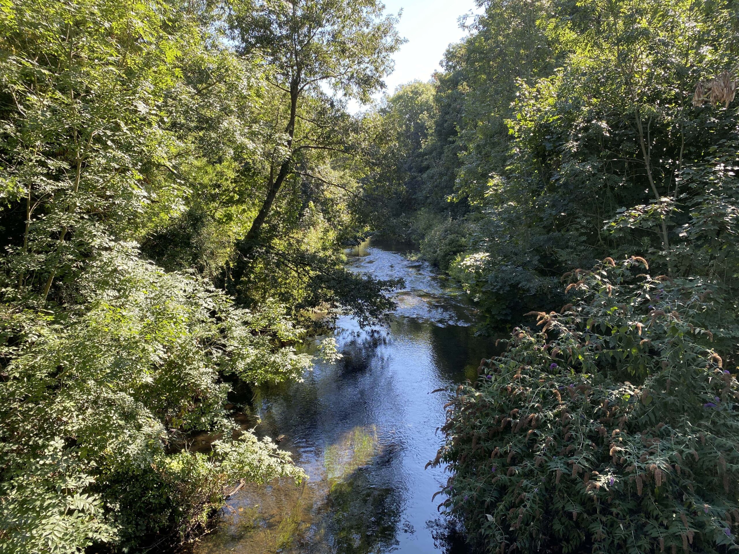
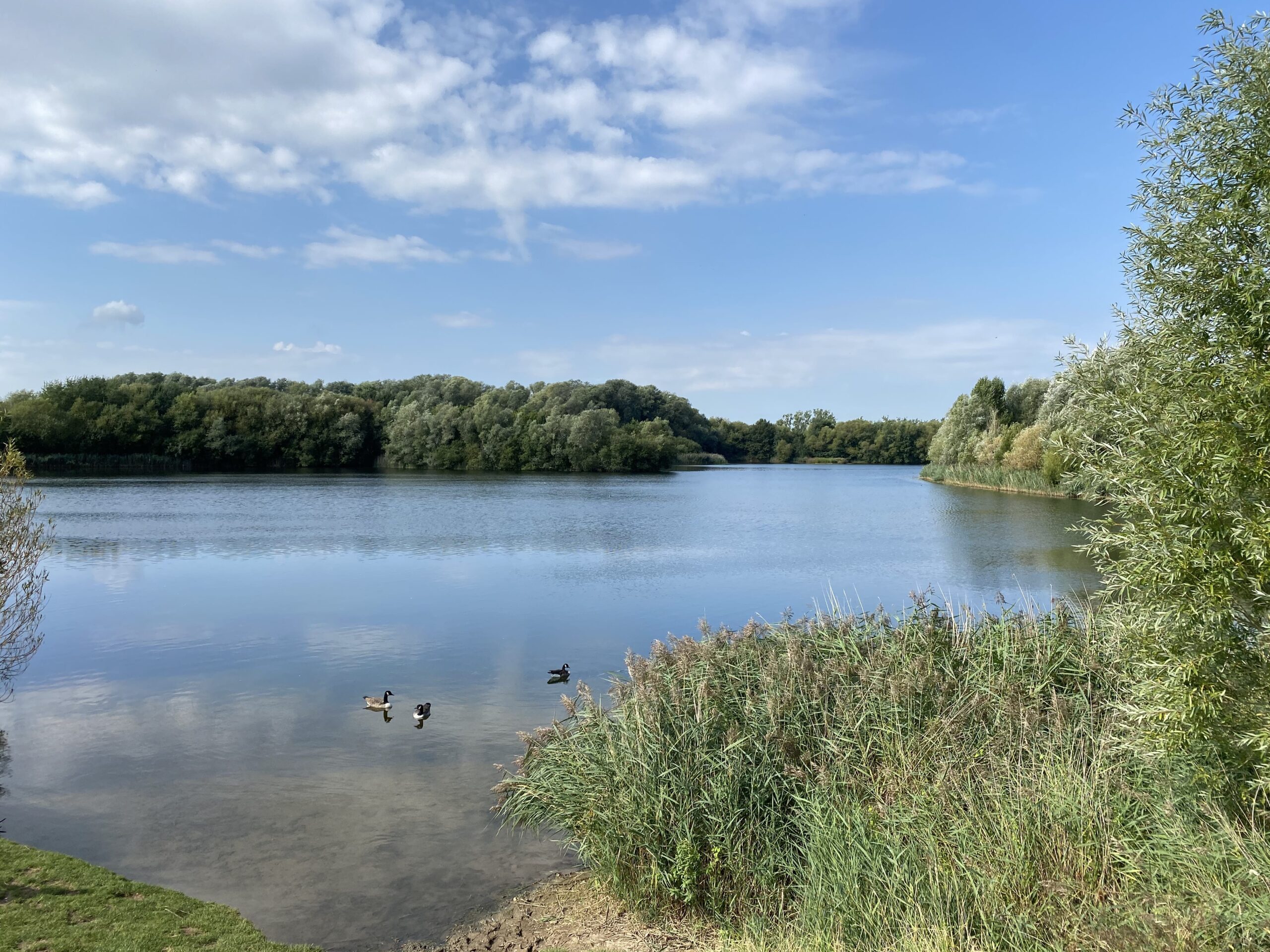
The Crane Valley is an urban lowland river catchment covering an area of 125 km2. It extends across five West London boroughs and is home to over 650,000 people. Several major highways (including the M4, M40 and A30) cross the valley and much of Heathrow – Europe’s busiest passenger airport – lies within the catchment. The valley is largely given over to residential and commercial development but within this predominantly urban setting, semi-natural river corridors of around 60km length provide unifying green threads, linking a remarkably varied network of publicly accessible open spaces, covering well over 2000 hectares.
The river system consists of the River Crane and the two arms of the Yeading Brook (which together form the headwaters), the two branches of the Duke of Northumberland’s River (historic artificial channels) and several small tributaries such as the Smarts Brook, Ickenham Stream, Frogs Ditch and Whitton Brook. The main river corridor passes under the Grand Union Canal and the Great Western Railway mainline in the Hayes area and it is in this general vicinity that the Yeading Brook becomes, without any obvious sign or fanfare, the River Crane. The Crane receives some water from the River Colne, via the Upper Duke of Northumberland’s River. The river is tidal in its lowest reach between Cole Park and the Thames.
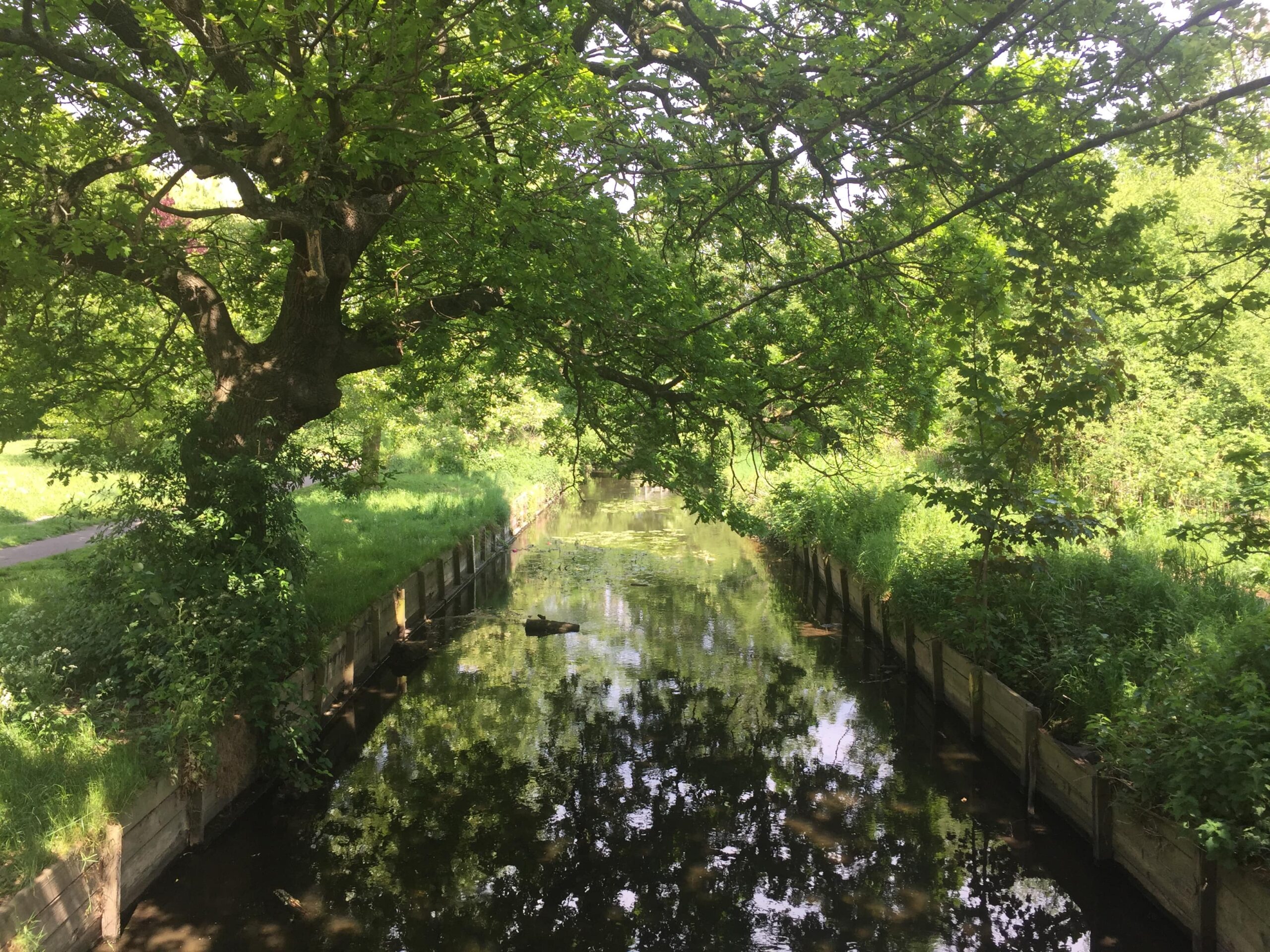
The Longford River (another historic artificial channel) flows through the catchment without connecting to the Crane. It runs in parallel with the Upper Duke of Northumberland’s River along the western and southern perimeter of Heathrow Airport before turning away in the Bedfont area towards Bushy Park and Hampton Court.
The Portlane Brook currently lies outside the Crane catchment’s hydrological boundary but due to its proximity might in future be incorporated within CVP’s operational remit.